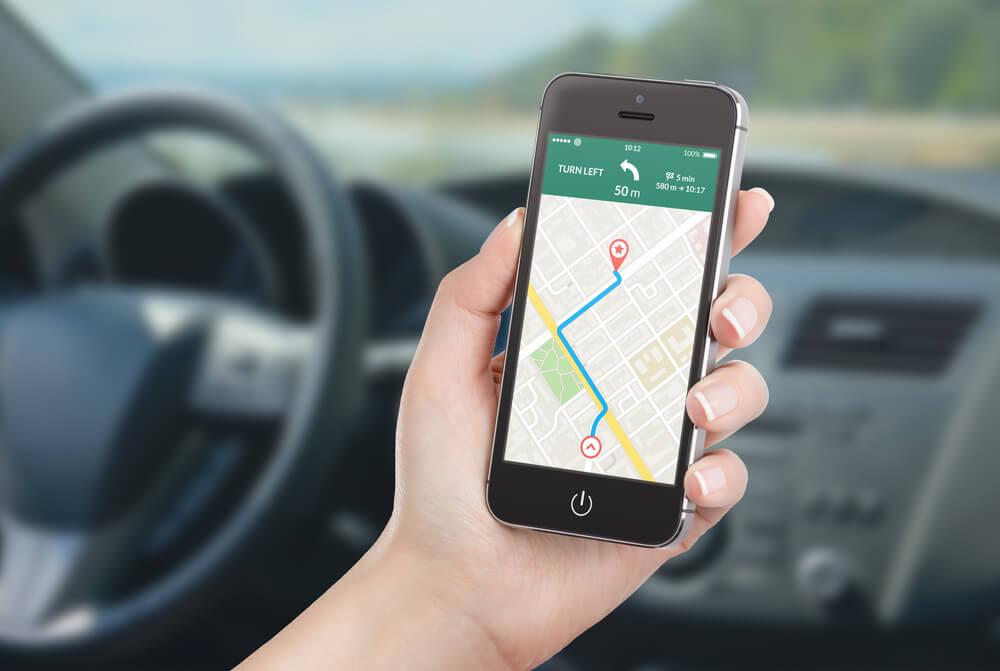
Rating of the best maps and GPS navigation programs for the car for 2025

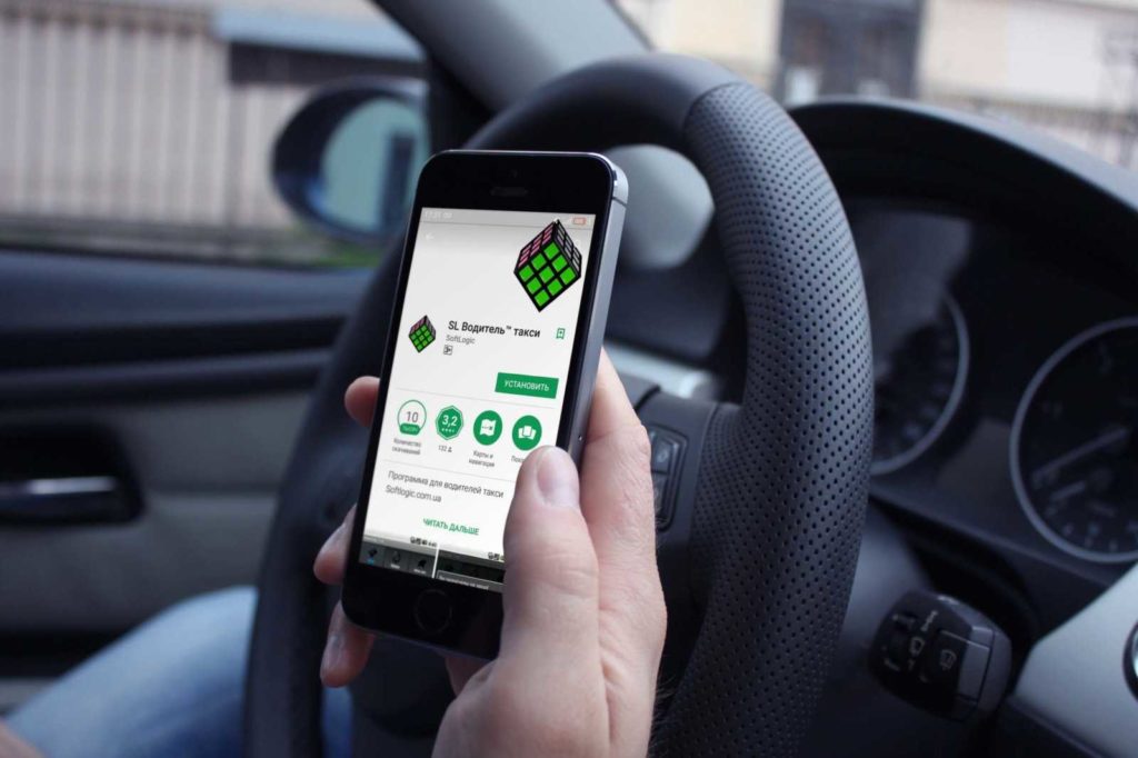
The navigator is an indispensable device for any motorist. The navigator is especially often used for drivers who love to travel. A trip to unfamiliar places requires the installation of special programs that can be used to lay accurate routes. Each driver independently selects the most suitable program. The ranking of the best maps and GPS navigation programs for the car for 2025 describes the advantages and disadvantages of applications.
Content [Hide]
How to choose the right navigation for your car
The main task of any navigation map is to build a route as detailed and accurate as possible. However, GPS navigators may have various features that make it easier to get directions. When choosing the right program, you need to consider:
- Advanced features, such a function allows not only to pave the way, but also to display objects. This is very convenient if the driver is in an unfamiliar area.
- Support for modern systems. Many popular programs can be installed on Android, iOS, Windows Phone.
- Information update mode. The best option is when the map is automatically updated after connecting to the network. However, when using the card abroad, this option can be expensive, so it would be useful to have a manual update function.
- Price. Popular navigation apps offer a free basic set of features. However, if you need high detail, you should pay attention to paid offers.
When choosing a suitable navigation system, it is necessary to study the features of the menu. Since on the road there should be no difficulties with laying the path.
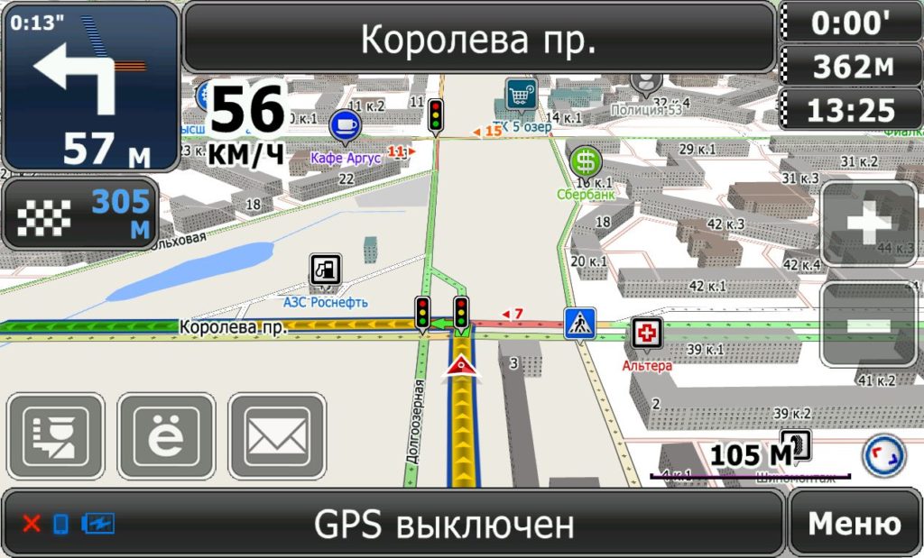
What are the maps for navigation for the driver
Maps for navigators can be of several types:
- Raster maps. Information appears as a result of satellite images. Using this map, you can see the terrain.
- Vector cards. Very often used for motorists. The advantage of such a map is that not only the relief is visible on the route, but also all the necessary points. Such as hotels, gas stations, etc.
A correctly chosen program allows you to lay out a route in detail, and make the trip comfortable.
Overview of the best navigation programs
Among the large assortment of navigation programs, it is necessary to highlight the following types, which are not only easy to use, but also have a large number of reviews from users.
Paid
To use the applications, you must purchase a service package. Depending on the company, payment can be one-time or annual. The cost of the service package may vary depending on the region of use.
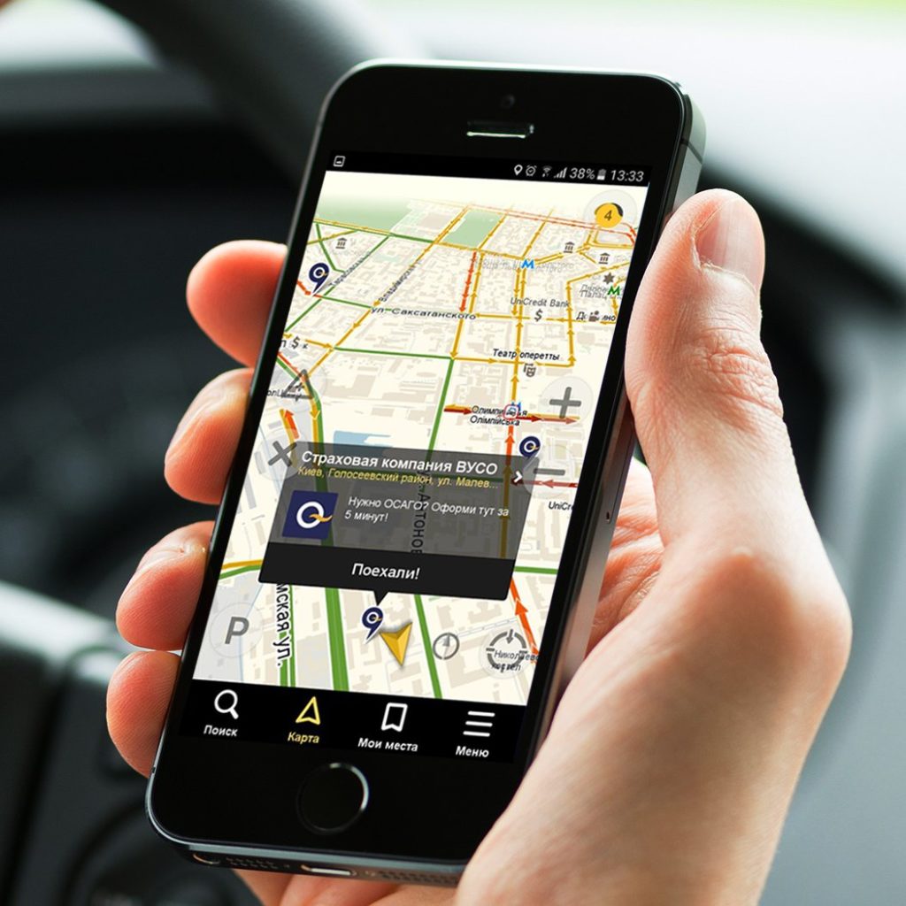
CityGuide
votes 63
votes 63
"Young" program, which is beginning to gain popularity among motorists. Using the program, you can quickly pave the way even in the most remote corners. A feature of the program is that it is installed for free in St. Petersburg and Moscow. However, if you need to pave the road in other regions, you need to purchase a paid program.
The program can calculate the duration of the route and the time that the driver will spend. At the same time, traffic jams and possible stops are taken into account in the route. The length of the journey may vary depending on the time of day.
Using this navigation system, every motorist can safely move in large regions and go on long journeys.
Advantages:
- quickly paves the route;
- high detail.
Flaws:
- free program only for the regions of Moscow and St. Petersburg
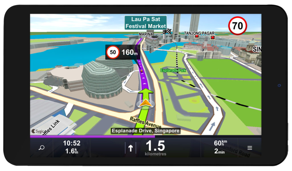
Sygic
votes 58
votes 58
The navigation program appeared in 2004, but quickly gained popularity among users. The program is supported by iOC and Android. The application can be used for free for the first seven days, but after the trial period has expired, you must pay for the service package. You can separately purchase the package Russia or Russia + Europe.You need to purchase the package once, in the future you can use service updates without prepayment.
The settings menu is very simple. It is enough to enter a destination, and the system will automatically lay out the fastest route. The model supports 3D images. This feature is very convenient for moving around the city.
The scale can be changed depending on personal preference. You can use voice prompts when laying the necessary path.
Advantages:
- simple menu;
- quick search;
- You can choose the scale yourself.
Flaws:
- not found.
NAVITEL
votes 52
votes 52
The navigation application is supported by smartphones and tablets based on Android, iOS, Windows Phone, Windows Mobile, BlackBerry OS, Symbian, Bada, Java. Quick installation and a clear interface makes the process of use not only clear, but also simple. The peculiarities include the fact that the company specializes in the production of its own navigation devices with the installed program.
After installation, the driver can get all the information about the selected route in detail. Also, users note that the map displays not only asphalt roads, but also country roads. Therefore, even on trips outside the city, the driver will not get lost.
The route along which the driver moved can be recorded and transferred to another user. This feature allows you to quickly determine the coordinates of the driver in case of emergency. Settings can be in Russian or English, this criterion is individually specified by the user.
Advantages:
- supports most CIS maps;
- can work offline;
- the program displays weather changes;
- display of traffic jams;
- detailing of objects;
- display of all traffic cameras.
Flaws:
- errors may occur with the display of points on the route;
- All additional features must be purchased separately.
Garmin
votes 20
votes 20
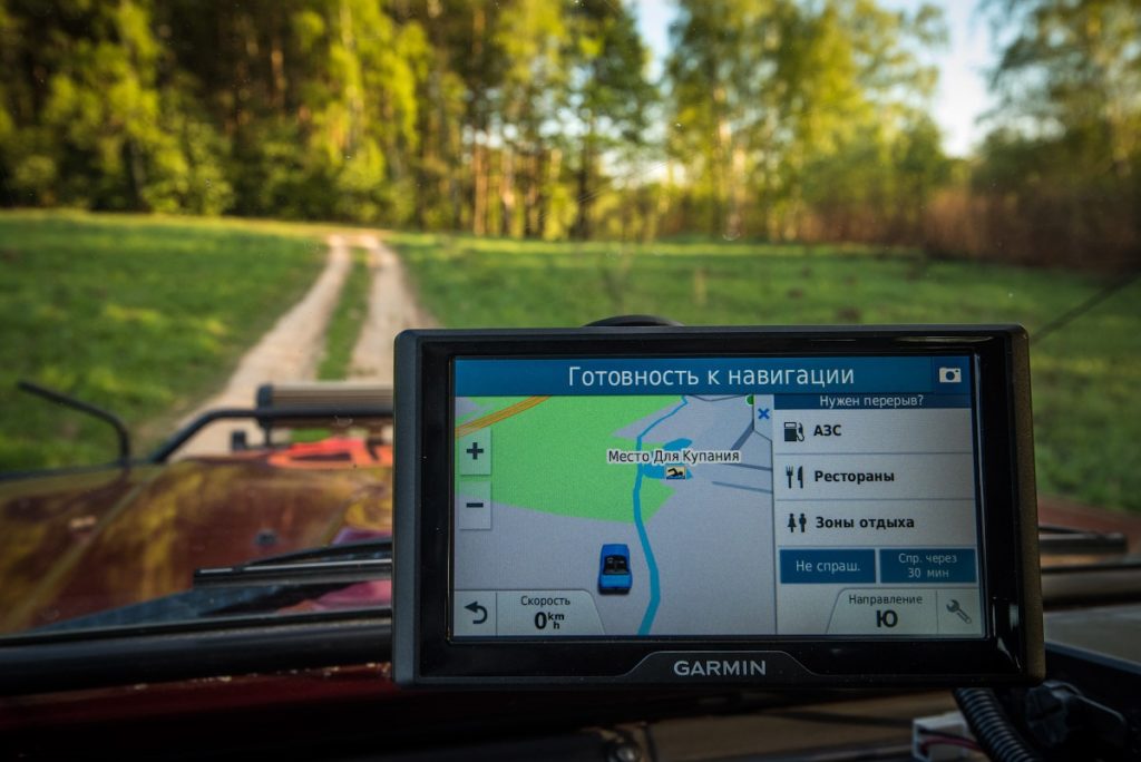
The application allows you to get clear images that make it easier to move not only around the city, but also beyond. However, it should be noted that the application only supports navigation devices from this brand. However, users who have settled on this GPS navigation note a large number of positive aspects.
The screen displays realistic roads with all approaching signs and video surveillance devices. The driver can set the necessary parameters, and the program will build the shortest route in a short time. Initially, the system was used only for the American market, but gradually conquers the CIS countries.
Advantages:
- the interface is thoughtful and simple;
- high detail. You can specify the house number and get directions;
Flaws:
- can only be used on branded navigators.
IGO
votes 18
votes 18
This program is often used not only for motorists, but also for travelers. Contains a simple interface and the ability to receive tips in different languages. Services are provided for long-distance travel. Up to 70 countries are drawn on the maps, so regardless of the distance of the trip, you can always get the exact route and use the voice assistant.
If you deviate from the established route, navigation is independently rebuilt and notifies you of a new map. Navigation allows you to quickly find your end point and is supported by most devices.
Advantages:
- voice prompts;
- simple interface;
- accurate routing.
Flaws:
- updates are rare.
Free
Companies providing free GPS navigation allow you to download the basic functions needed for fast route planning. Additional features may be offered for a fee.
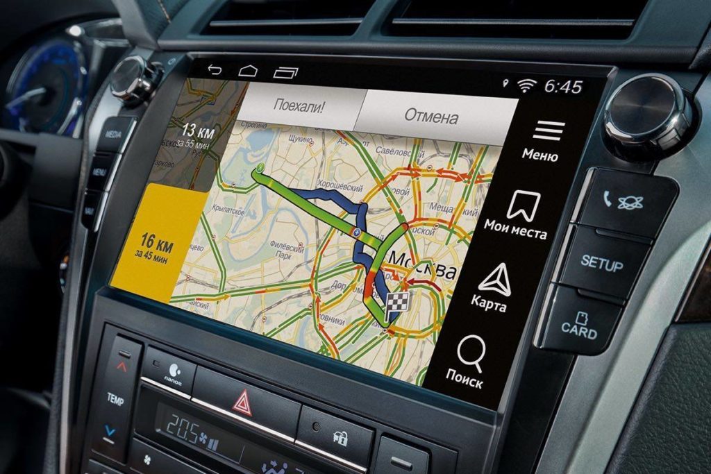
Yandex Navigator
votes 115
votes 115
The service is considered one of the most frequently used among drivers. The navigator is supported by almost all smartphones and navigators. The navigator allows you to plan a route in detail. The driver can independently choose: to fully load the map or only the desired section. Partial loading saves time and allows more detailed route planning.
Also, the features of GPS-navigation include the possibility of detailed specification of the selected object. The program has many advanced settings that improve image quality.
Using Yandex Navigator, the driver will not be bored on the road. You can use the voice assistant Alice, who will tell you the latest news and notify you in a timely manner about changes in weather conditions.
Yandex Navigator is installed very quickly and can be automatically updated when connected to the Internet.
Advantages:
- installed quickly;
- accurate mapping of the terrain;
- availability of additional functions.
Flaws:
- not found.
google maps
votes 43
votes 43
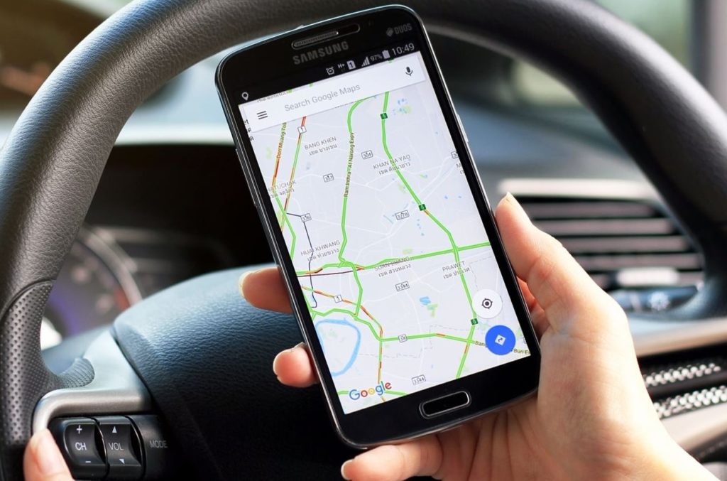
Navigation, which is often chosen by drivers to move not only around the city, but also beyond. Contains a large number of applications that complement each other. Google maps allow you to use not only maps with high detail of the terrain, but also contain additional features. With the help of which, the driver will be able to find out the location of hotels, gas stations and eateries that are located along the way.
The application covers most countries, so it is often chosen by travelers.Also, the user will be able to independently supplement routes and specify objects. The features include the ability to use a voice assistant. The application is supported by on-board computers that run on Android Auto and CarPlay.
Also, the application will promptly notify you if there is an accident or traffic jam on the road. This feature allows you to choose a bypass route in a timely manner. You can use the app without taking your eyes off the road. The voice assistant will notify you of a route change throughout the trip.
Advantages:
- the interface is clear and easy to configure;
- the driver independently chooses the language;
- supports a map of the whole world;
- scale can be set independently;
- the database is updated daily.
Flaws:
- it is necessary to specify the user information that is entered into the user base.
Service Progorod
votes 29
votes 29
Ideal for moving around major cities. It contains not only maps of major cities in Russia, but also abroad. Installed on a smartphone or tablet. Using navigation, you can avoid traffic jams and choose the most suitable interchange. All changes in the service occur in real time. The application can be installed on systems such as android and iOS.
Advantages:
- three-dimensional image;
- simple control.
Flaws:
- maps of foreign countries does not have a clear detail.
Google Maps
votes 18
votes 18
Free service that can be installed on any smartphone. However, it should be noted that the application is valid only within Russia. Very popular in big cities. When leaving the city, it can give general information, without indicating objects and road signs.
Advantages:
- absolutely free;
- simple control;
- supported by most device.
Flaws:
- rarely updated.
Autosatellite
votes 19
votes 19
A free card that is often chosen by car enthusiasts. The application gained its popularity due to a large number of additional features and high detail maps. The driver inquires in advance of the approaching object.
Avtosputnik is especially popular as part of moving around the city. Since it allows you to choose the right path with the least amount of traffic jams. The application can be used not only for passenger cars, but also trucks.
Advantages:
- can be installed on all devices;
- simple use;
- clear menu.
Flaws:
- sometimes hangs.
OsmAnd
votes 15
votes 15
A popular application that can be used absolutely free. The design of the application has its own characteristics, so not all drivers can quickly learn how to lay the desired route. Maps can be downloaded to a smartphone or navigator and used even without a network connection.
The company also offers additional features of the application, but you need to pay for such services. However, many users note that the basic functions are enough to get a clear route.
Voice commands are also available in the application, with the help of which the driver receives the necessary information, while not being distracted from the road.
Advantages:
- the base is regularly updated;
- quickly responds to commands;
- voice assistant.
Flaws:
- not found.
2 GIS
votes 26
votes 26
A handy application that allows you to display maps of the largest cities. The resulting picture is highly detailed, so many drivers note too much saturation with objects. Despite this, GPS navigation is very convenient, and allows you to quickly access the desired query.
However, it should be noted that the application only works after connecting to the Internet. If there is no internet, navigation hangs. According to user reviews, the application is very convenient for a big city. It can be used not only by drivers, but also by pedestrians.
Advantages:
- simple use;
- high detail;
- free use.
Flaws:
- network access required.
Benefits of Using GPS Navigation
The use of special programs for navigation saves the driver's time. Applications display not only a detailed path, but also allow you to send data about the location of the car in the event of an accident. The driver does not need to track the route on paper. It is enough to enter the coordinates and the application will independently calculate the appropriate option. These features allow you to travel comfortably.
A properly selected navigation program will make the trip not only comfortable, but also safe. Modern applications will notify you about road signs and video cameras. Also, many programs will pre-warn you about an accident on the road and traffic jams. You can install the program both on a smartphone and tablet, and on an on-board computer. You can also purchase a navigator, in which I will already have all the necessary programs for long trips.
new entries
Categories

The best men's sneakers in 2025
Views: 124031

The Best Complex Vitamins in 2025
Views: 121938

Ranking of the best face concentrates for 2025
Views: 3637


Useful
Ranking of the best vacuum sealers for 2025
Views: 1935

Rating of the best electric hobs for 2025
Views: 2340


Best Antivirals in 2025
Views: 33333

Top 15 hoverboards of 2025. Decent value for money
Views: 29338
Popular Articles
-
Top ranking of the best and cheapest scooters up to 50cc in 2025
Views: 131650 -

Rating of the best soundproofing materials for an apartment in 2025
Views: 127689 -

Rating of cheap analogues of expensive medicines for flu and colds for 2025
Views: 124517 -
The best men's sneakers in 2025
Views: 124031 -
The Best Complex Vitamins in 2025
Views: 121938 -

Top ranking of the best smartwatches 2025 - price-quality ratio
Views: 114978 -

The best paint for gray hair - top rating 2025
Views: 113393 -

Ranking of the best wood paints for interior work in 2025
Views: 110318 -

Rating of the best spinning reels in 2025
Views: 105327 -

Ranking of the best sex dolls for men for 2025
Views: 104365 -

Ranking of the best action cameras from China in 2025
Views: 102215 -

The most effective calcium preparations for adults and children in 2025
Views: 102010